Natural Resource Inventory (NRI) and Conservation Priorities
The Natural Resource Inventory (NRI) for Greene County is now complete and available on line. There is also a brief interactive “story map” that provides an easy way to access much of the information in the NRI.
To see the Story Map about the NRI, click here.
To see complete NRI Document (PDF), click here.
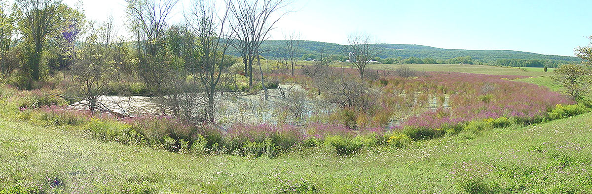
The NRI compiles and describes important natural resources in Greene County such as forests, wetlands, surface and ground waters, and farmland. Cultural resources, such as historic sites, scenic vistas, and recreation areas are also included. For more information from DEC about Natural Resource Inventories, click here.
Information is presented in a series of maps and an accompanying report with narrative descriptions, supporting data tables, and recommendations. The report allows one to visualize resources in the County—where they occur and how they relate to each other, their surroundings, and existing development.
A NRI provides a strong foundation for informed land-use planning and decision-making. The NRI will also serve as the basis for identifying conservation priorities and strategies that GLT will use to guide its conservation work.
This project was made possible by a grant from the Hudson River Estuary Program funded by the NYS Environmental Protection Fund. GLT partnered with Hudsonia and Cornell Cooperative Extension of Columbia and Greene Counties to build on previous work to prepare natural resource maps for Greene County.